
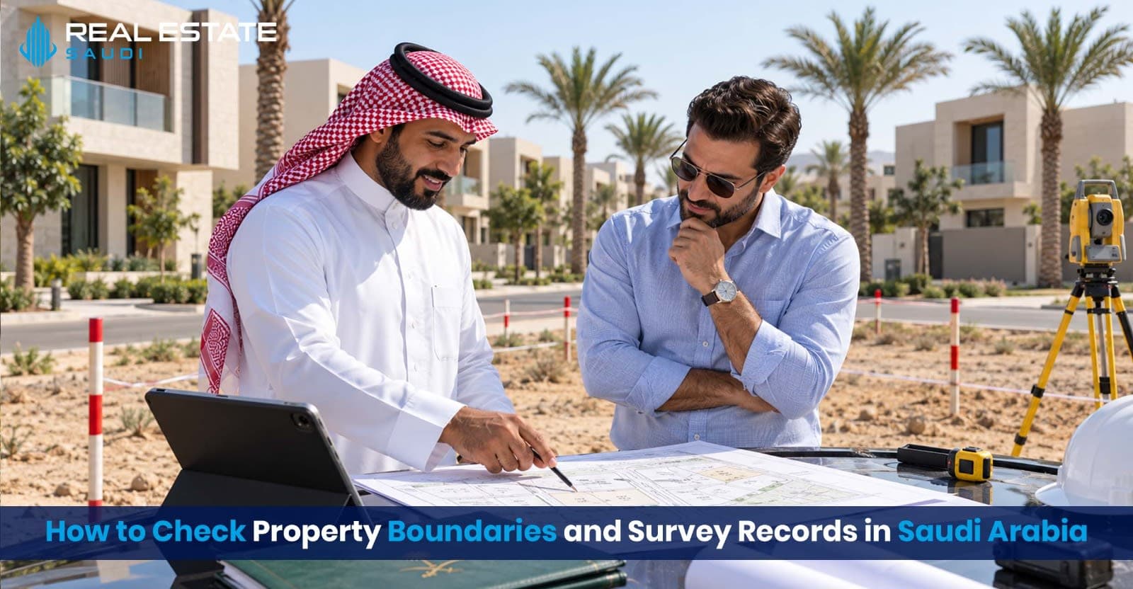
Property boundaries determine exactly what a buyer owns, where the land begins and ends, and whether walls, buildings, entrances or services extend beyond the registered parcel. Before purchasing land, a villa or another boundary-sensitive property in Saudi Arabia, buyers should compare the official property record with cadastral information and the property’s physical condition.
Why property boundaries matter
What Saudi property records may contain
Documents to request from the seller
How to verify the property record
How to review cadastral maps and survey records
When to arrange a field survey
How to inspect physical boundary markers
What to do when records do not match
Contract protections for buyers
Final property-boundary checklist
Frequently asked questions
Why Property Boundaries Matter in Saudi Arabia
A property viewing shows what is physically occupied, but it does not always establish the exact legal parcel being sold.
A wall, fence, driveway or landscaped area may appear to form part of the property while the registered boundary follows a different line. Older markers may have disappeared, neighbouring structures may cross a boundary, or the area advertised by the seller may not match the official record.
Boundary verification can help a buyer identify:
differences between the advertised and registered land area;
walls or buildings crossing parcel lines;
neighbouring structures extending onto the property;
access routes that are not included in the registered parcel;
missing or displaced boundary markers;
inconsistencies between the title record and cadastral information;
subdivision or merger changes not reflected in the documents provided; and
potential disputes that should be resolved before payment.
The safest sequence is:
Identify the property → Verify the ownership record → Obtain cadastral information → Compare areas and coordinates → Inspect the site → Resolve discrepancies → Sign and complete the transaction
The important principle is simple:
Never assume that the visible fence, wall or road automatically represents the registered property boundary.
1. What Is a Property Boundary?
A property boundary is the legally recognised line separating one parcel from another parcel, road, public space or neighbouring property.
Depending on the property record and survey documentation, a boundary may be described using:
plot or parcel numbers;
plan and block numbers;
boundary directions;
adjoining plots, streets or public areas;
side lengths;
total land area;
corner coordinates; and
a cadastral map or drawing.
Saudi Arabia’s Law of Real Estate Registration defines a map as a cadastral drawing based on the national coordinate system. The map can indicate the property’s location, boundaries, landmarks, number and area.
The same law states that a property registration deed can include the property’s location, boundaries, description and use, together with associated rights, obligations and ownership information.
This means that checking only the seller’s name is insufficient. The buyer must confirm that the registered property is the exact parcel being inspected and purchased.
ما نوع العقار والمنطقة المناسبة؟
اختر نوع العقار والمدينة المستهدفة لاستعراض أنسب الخيارات.
2. What Are Cadastral and Survey Records?
Cadastral records are official spatial records used to identify and describe land parcels. They may show how a parcel is positioned in relation to neighbouring plots, roads and other physical or administrative features.
The Implementing Regulations of the Law of Real Estate Registration define a cadastral survey as measuring and recording property boundaries on site and reflecting them on maps using surveying equipment.
A field-survey report may contain:
Survey detail | Why it matters |
|---|---|
Property number | Identifies the registered parcel |
Plan and block numbers | Connect the parcel to its approved plan |
District and city | Confirm the general location |
Boundary descriptions | Identify adjoining plots, streets or land |
Corner coordinates | Locate the parcel’s turning points |
Boundary lengths | Show the measured length of each side |
Total area | Allows comparison with the deed and sale documents |
Survey date | Indicates when the measurements were taken |
Surveying office | Identifies who prepared the report |
Surveyor or engineer signatures | Supports accountability and verification |
A cadastral report, a field-survey report and a property registration deed serve related but different purposes. Buyers should not assume that one document automatically replaces all the others.
3. Collect the Property Information From the Seller
Before using an online service or arranging a site survey, ask the seller or authorised representative for the available identifying information.
Request:
electronic title deed or property registration deed;
property or real estate registration number;
title deed number and issue date, where applicable;
plot, block and approved plan numbers;
city, district and exact location;
registered land area;
boundary descriptions and side lengths;
available cadastral report;
previous field-survey report;
subdivision or merger approvals;
building permits and approved site plans;
details of any easements, access rights or restrictions; and
seller identification or company-authorisation documents.
Do not rely entirely on a marketing brochure, map pin or informal location description. Terms such as “corner plot,” “main-road land” or “1,000-square-metre villa” are marketing descriptions until they are reconciled with official records.
Buyers should also complete a separate property-ownership verification to confirm that the seller is legally connected to the exact parcel being offered.
4. Verify the Applicable Official Property Record
Saudi properties may be at different stages of the registration process. A buyer should first determine which official record and verification route applies to the specific property.
Property registered with the Real Estate Registry
The Saudi Real Estate Registry provides property-registration services, access to property documents, ownership transfers, survey-report services, corrections, grievances, subdivisions and mergers.
For a registered property, compare the available record with:
the registered owner;
property number;
city and district;
plot and plan details;
property area;
boundary descriptions;
rights and restrictions; and
the property being physically shown to you.
Property operating under an electronic title deed
Where the applicable property is still documented through an electronic title deed, the buyer should use the relevant official verification process and confirm that the deed details remain current.
Our Saudi property title deed verification guide explains how to compare the current official result with the seller, property number, area and registered boundaries.
An authentic deed associated with the wrong parcel does not make the proposed transaction safe.
5. Compare the Key Property Details
Create a comparison table using every document supplied by the seller.
Detail | Title or registry record | Cadastral record | Sale contract | Physical site |
|---|---|---|---|---|
Property number | Check | Check | Check | Not normally visible |
Plot and plan numbers | Check | Check | Check | Confirm location |
Total area | Check | Check | Check | Requires measurement |
Boundary lengths | Check | Check | Include where relevant | Measure professionally |
Corner coordinates | May be available | Check | Attach if necessary | Locate through surveying |
Road frontage | Check description | Check map | Describe clearly | Inspect |
Buildings and walls | Check available plans | Check survey description | Identify included structures | Inspect |
Access rights | Review registered rights | Check spatial position | Address expressly | Test actual access |
Small differences should not be ignored simply because the overall shape looks similar. A narrow strip of land can materially affect vehicle access, setbacks, construction plans or the property’s future value.
6. Use Digital Maps as a Screening Tool
The REGA Geospatial Real Estate Portal provides interactive spatial information relating to regions, cities, neighbourhoods, plots, facilities, certified offices and areas announced for registration.
The Balady Urban Maps service can also help users explore available map layers, including streets, land plots and nearby services.
These platforms can help a buyer:
locate the general parcel;
understand surrounding roads and plots;
check the shape of the land;
identify nearby public facilities;
examine the wider approved plan; and
detect obvious differences between the advertised location and mapped information.
However, a digital map should not be treated as a substitute for an official property record or professional boundary survey.
Satellite imagery and ordinary navigation applications may be useful for orientation, but they are not reliable evidence of an exact legal boundary.
7. Obtain a Cadastral Report
Balady provides an official Issuance of a Cadastral Report service. The current service allows eligible beneficiaries to request a cadastral report for a property through the platform.
The applicant may need property information, proof of authority and other documents required by the service. Requirements can depend on the applicant, property type and requested purpose.
When reviewing a cadastral report, check:
the beneficiary and property information;
deed or registration identifiers;
municipality and district;
plot, block and plan numbers;
approved land use;
parcel shape;
boundary directions;
side lengths;
corner coordinates;
total calculated area; and
report issue date and status.
Balady also provides a Cadastral Report Inquiry service for checking available report information.
A report should be matched with the latest official property documents. Do not assume that an old cadastral report reflects a subsequent subdivision, merger, road acquisition or registration correction.
8. Arrange a Field Survey When Necessary
A field survey is especially important when:
purchasing vacant land;
buying a detached villa with an independent plot;
planning demolition or new construction;
the property lacks visible boundary markers;
the advertised area differs from the documents;
a wall appears to cross the expected boundary;
neighbours disagree about the boundary;
the land has an irregular shape;
the property has recently been subdivided or merged; or
the coordinates cannot be confidently matched to the site.
Saudi registration law requires persons conducting survey work connected with real estate registration to be appropriately licensed and listed as required by the competent authorities.
Ask the surveying professional to:
confirm the exact property identifiers;
review the deed, cadastral report and approved plan;
locate the parcel using the applicable coordinate system;
identify or restore boundary points;
measure every side;
calculate the total area;
record physical encroachments;
compare the field measurements with official documents; and
provide a signed report or drawing explaining any discrepancy.
The survey instructions should identify the exact parcel. Avoid commissioning a general measurement based only on a map pin supplied by the broker.
حدد ميزانيتك الاستثمارية
حدد ميزانيتك التقديرية لنقوم بتضييق خيارات العروض.
9. Inspect Physical Boundary Markers
The implementing regulations state that, for first registration, vacant land should have ground boundary markers at corners and along boundaries unless the boundaries are naturally or permanently identifiable. Walls, fences, streets and roads may serve as built boundary features in relevant circumstances.
During the site inspection, check for:
corner markers;
boundary pegs;
permanent survey points;
walls and fences;
roads bordering the parcel;
neighbouring buildings;
utility structures;
gates and driveways;
drainage channels;
landscaping beyond the wall; and
signs of recent movement or rebuilding.
Photograph each corner and side of the property. Where possible, ask the surveyor to label the photographs or connect them to the survey drawing.
A physical marker should still be reconciled with the official coordinates and records. A peg or wall can be moved, incorrectly installed or associated with a previous parcel arrangement.
10. Watch for Encroachments and Access Problems
An encroachment occurs when a wall, building, structure or use crosses a property boundary.
Examples include:
part of a neighbour’s wall standing on the property;
the property’s garage extending into a neighbouring parcel;
an entrance crossing land not included in the sale;
air-conditioning units or balconies projecting across a boundary;
a private fence enclosing public or neighbouring land; and
utility or drainage infrastructure affecting development.
Access also requires careful review. A property may appear accessible because the occupants have historically crossed adjoining land. That does not necessarily prove that the buyer will receive a registered or legally protected access right.
Confirm whether access is:
directly from a public road;
located inside the registered parcel;
dependent on a registered easement or right;
shared with another property; or
based only on an informal arrangement.
11. What to Do When the Records Do Not Match
A discrepancy does not always indicate fraud. It can arise from an old measurement, administrative error, subdivision, merger, road adjustment, registration transition or physical encroachment.
However, the buyer should not decide independently which measurement is correct.
If the deed, cadastral report, survey or physical site differs:
pause any substantial non-refundable payment;
record the exact difference;
obtain the latest official property information;
ask a licensed surveyor to explain the technical issue;
request supporting subdivision, merger or planning approvals;
ask the owner to initiate the applicable correction process;
obtain legal advice if ownership or possession is disputed; and
proceed only when the contract and official record identify the same property.
The Real Estate Registry provides correction and grievance processes for applicable registered properties. The correct route depends on the record, the nature of the discrepancy and the current registration status.
If the disagreement has already developed into a conflict, review the available options in our guide to real estate disputes in Saudi Arabia.
12. Protect the Buyer in the Purchase Contract
Boundary verification should occur before the buyer accepts an unconditional obligation to purchase.
The agreement should clearly identify:
property number;
deed or registration reference;
plot, block and plan numbers;
district and city;
registered area;
agreed boundary description;
attached cadastral or survey plan;
structures included in the sale;
access and easement rights;
responsibility for correcting discrepancies;
deadline for providing official documents;
consequences of a material area difference; and
deposit-refund rights if the seller cannot transfer the agreed property.
For a high-value or boundary-sensitive purchase, the buyer should have the contract reviewed by a qualified Saudi legal professional.
Foreign purchasers can use our Saudi property purchase contract checklist to review additional ownership, payment and completion risks.
13. Special Considerations by Property Type
Vacant land
Vacant land generally requires the greatest boundary attention because there may be no permanent structures showing the parcel’s limits.
Verify the corner coordinates, markers, frontage, access and total area before planning construction.
Villas
For villas, compare both the land parcel and the approved building position. Check walls, extensions, garages, service rooms, landscaping and external structures.
A structurally sound villa can still present a boundary problem.
Apartments
An apartment buyer is usually purchasing a registered unit rather than an independent ground parcel. The buyer should verify the unit number, floor, area, parking allocation, storage space and share in common property.
Do not treat a building’s outer land boundary as the only relevant measurement.
Subdivided or merged land
Request the final approved documents after the subdivision or merger. An earlier deed or survey may describe the parent parcel rather than the new property being sold.
Off-plan property
For off-plan purchases, verify the authorised project and the exact unit. Review the approved plans, unit area, parking, shared areas and any permitted measurement adjustments.
Buyers should also check the real estate developer and the project’s official status before making a substantial payment.
Property-Boundary Red Flags
Investigate further if:
the seller refuses to provide the property identifiers;
only a screenshot or informal map is available;
the plot number differs across documents;
the advertised area is larger than the registered area;
the cadastral report is old or incomplete;
the boundary lengths do not produce the stated area;
the map shape differs from the site;
visible walls cross the expected boundary;
the property has no clear legal access;
neighbours dispute a marker or wall;
the seller discourages an independent survey;
subdivision documents are unavailable; or
the contract does not explain what happens if measurements differ.
كيف تفضل التواصل معك؟
اختر وسيلة التواصل الأكثر ملاءمة لك لمناقشة فرصك الاستثمارية.
Final Property Boundary Checklist
Before accepting the property or completing payment, confirm that you have:
identified the exact legal parcel;
verified the seller’s ownership or authority;
checked the current official property record;
compared the property, plot and plan numbers;
reviewed the registered area and boundaries;
obtained available cadastral information;
checked corner coordinates and side lengths;
inspected every side of the property;
arranged a professional survey where necessary;
investigated access rights and encroachments;
resolved document discrepancies;
attached important plans to the contract; and
retained the final survey and registration documents.
Final Takeaway
Checking property boundaries in Saudi Arabia requires more than viewing a fence or opening a location pin.
A careful buyer should identify the exact parcel, verify the applicable official property record, obtain current cadastral information, compare areas and boundary details, and arrange a field survey when the property or documents create uncertainty.
If the official records and physical site do not match, resolve the difference before signing an unconditional agreement or making a substantial non-refundable payment.
تحدث معنا عبر قناتك المفضلة
استشارات عقارية مباشرة حول الاستثمار والسوق العقاري في المملكة العربية السعودية.
الأسئلة الشائعة
Identify the exact property, verify its ownership record and obtain the applicable cadastral map or report. Compare the recorded area, dimensions and adjoining plots with the physical site. Use a qualified surveyor where precise on-site confirmation is required.
A cadastral map is a surveying drawing based on a national coordinate system. It can show a property’s location, boundaries, landmarks, identifying numbers, dimensions, area and related spatial information.
No. A wall or fence may not follow the legally registered line. It may have been built inside or across the boundary. Compare it with official cadastral records and obtain professional surveying assistance if its position matters to the purchase.
Balady provides an electronic cadastral-report service for eligible beneficiaries. The Real Estate Registry also lists survey-report issuance among its services. Availability and requirements depend on the property and registration status.
Pause the transaction and identify which documents are current. Ask a qualified surveyor and relevant authority to investigate the cause. The purchase contract should explain what happens if the discrepancy cannot be corrected before completion.
A valid title or ownership-registration document is essential, but buyers should also review the property description and applicable cadastral information. A copy of a deed should not be used to estimate boundary locations without the corresponding official spatial records.
An official map portal can help identify plots and surrounding features, but an ordinary online map or location pin should not replace a cadastral report or professional site survey when precise boundaries are required.
Compare the registered cadastral information with a professional physical survey. Photograph the site and preserve all records. Do not remove structures or markers yourself. Obtain appropriate technical and legal advice if an encroachment appears to exist.
A professional survey is strongly advisable where the plot is valuable, irregular, unmarked, recently subdivided, affected by uncertain access or different in size from the documents. The necessary level of verification depends on the property and transaction risk.
Foreign buyers complete the same property and survey checks, but they must also confirm that they are legally eligible to acquire the specific property right in that location. Ownership-zone eligibility does not confirm the accuracy of the property’s boundaries.
